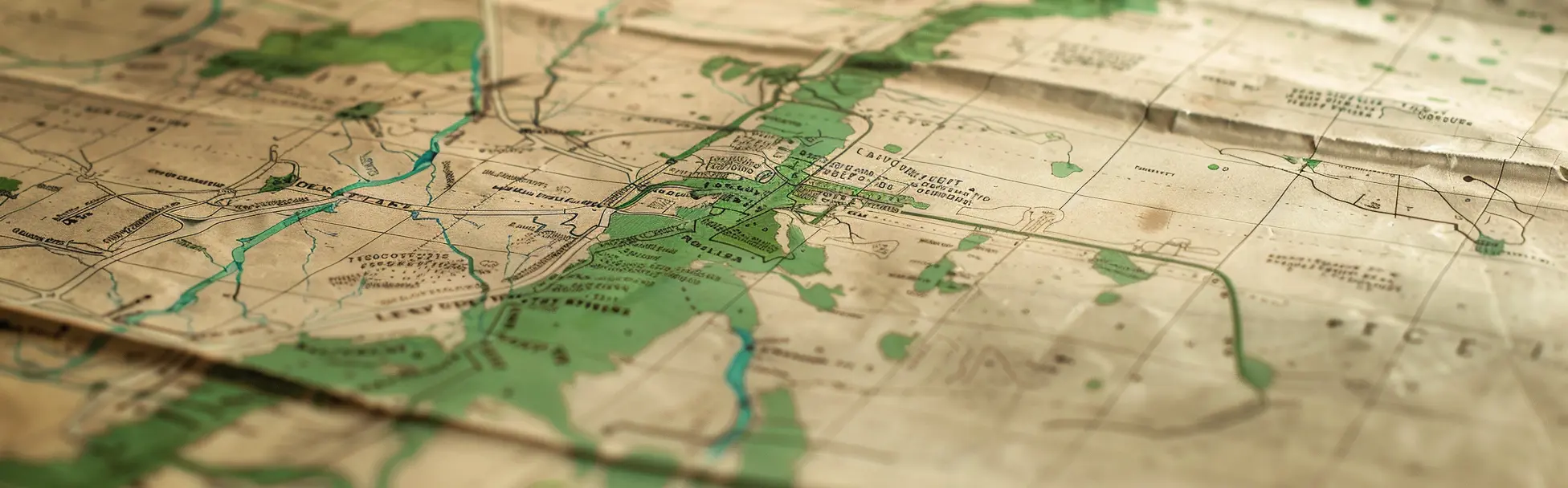
Parallel Greenbelt Mapping Cases in Ontario
Ontario has seen other cases where landowners, municipalities, or public submissions raised concerns about Greenbelt boundary lines and mapping anomalies. These examples do not decide this case — they show why a specific mapping concern deserves a specific review.
Context
Why Parallel Cases Matter
The Province has responded to the Town-backed MZO request with a general Greenbelt position rather than addressing the specific mapping anomaly on its merits. That response treats every boundary concern as a request to weaken the Greenbelt broadly.
Ontario has documented examples where landowners, municipalities, and planning professionals raised site-specific Greenbelt boundary concerns — including allegations of mapping anomalies, inconsistency with surrounding land use, and proximity to existing urban servicing. These publicly documented examples support the argument that a mapping anomaly should receive a specific response, not a generic one.
None of these cases are identical to this one. None are offered as legal precedent. They are research context — evidence that boundary review concerns have been raised before and that the Province has the tools and the obligation to assess them on the facts.
Case 1
Minotar Holdings: Mapping Error and Litigation Context
Minotar Holdings provides one of the most extensively documented parallel cases in Ontario's Greenbelt history. According to a formal submission to the Environmental Registry of Ontario, the Province mistakenly included Minotar's 37-acre property in the Greenbelt Natural Heritage System in 2005. Minotar sued in 2017, and the Province eventually settled by removing the property from the Greenbelt in December 2022.
The ERO submission states directly that “the best evidence was that the inclusion of the Minotar property was the result of a ‘mapping mistake’ or ‘inadvertent error.’” The Auditor General noted that Minotar was the only one of the 15 removed sites to have been assessed in detail for litigation purposes, with comprehensive environmental information available — precisely because the Province had to evaluate the merits of the specific mapping concern.
“The best evidence was that the inclusion of the Minotar property was the result of a ‘mapping mistake’ or ‘inadvertent error.’”
This case is not identical to ours. The Minotar matter involved litigation, a settlement, and subsequent legislation that unwound that settlement. It is cited here only to show that Greenbelt boundary issues have previously been framed as mapping mistakes requiring detailed, site-specific review — and that the Province has the capacity to conduct that review when presented with sufficient evidence.
Source: ERO Comment #94565 · Global News reporting
Case 2
Nash Road and Other Boundary Dispute Examples
Public reporting on Greenbelt boundary disputes has included other examples where landowners argued their properties were caught in the Greenbelt despite being close to existing built-up areas and servicing infrastructure. In one documented case, a property owner argued the land was included in the Greenbelt because of what they described as an obvious mapping error.
Arguments raised in these cases centred on proximity to existing development, access to municipal servicing, inconsistency with surrounding planning designations, and whether the lands were ever intended to function as protected greenspace. Municipal support and planning context were cited as part of the argument for specific review.
These examples are not offered as proof that this case must succeed. They are offered as evidence that site-specific Greenbelt boundary concerns — rooted in mapping context, land use history, and municipal position — deserve site-specific review, not a blanket response.
Source: Public reporting on Greenbelt boundary disputes in Ontario (Orillia Matters)
Case 3
Lincoln: A Public ERO Boundary Anomaly Submission
An Environmental Registry of Ontario submission concerning a property in Lincoln described a Greenbelt boundary that the owner alleged was drawn in error. The submission characterized the Greenbelt designation as “a small, narrow and oddly shaped strip of land which splits my property” and argued it was “possibly drawn in error.”
The owner noted that the designated strip was positioned inconsistently with surrounding Greenbelt lands, and stated directly that “it is within the urban area.” The submission argued the boundary was arbitrary when assessed against actual maps, surrounding land use, and planning context.
“It is within the urban area. This anomaly has negatively impacted urban development ability of this area.”
This submission is not legal authority. It is a publicly documented example of a property owner raising a Greenbelt boundary anomaly through the formal Environmental Registry process — using language about mapping error, urban context, and planning inconsistency that is recognizable from other Greenbelt mapping concerns.
Source: ERO Comment #79796
Balance
Why Guardrails Matter
This site does not argue that the Greenbelt should be opened. It does not argue that every landowner who raises a mapping concern deserves removal. It argues that verified mapping anomalies — backed by municipal support, planning context, and documented commercial history — deserve a fair, transparent, evidence-based review.
Environmental organizations have raised legitimate concerns that any Greenbelt boundary review process must have clear guardrails so it does not become a broad development pathway. That concern is valid and this site agrees with it. The goal here is not to create a new precedent for mass Greenbelt removal. The goal is to ensure that one specific, long-documented, municipally-backed mapping anomaly is reviewed on its actual merits.
A narrow, transparent, evidence-based correction process — limited to verified anomalies with documented municipal support — is precisely the kind of guardrail that makes the Greenbelt more defensible, not less.
Reference: Environmental Defence — Upcoming Greenbelt Review Needs Clear Guardrails
Post-2022 Context
The Province's Broad Response Should Not Foreclose Specific Review
In 2022, the Province removed 15 areas from the Greenbelt. In 2023, following reports from the Auditor General and Integrity Commissioner, it restored all 15. The Greenbelt boundaries were then embedded directly in legislation rather than regulation, making future boundary changes procedurally more complex.
That context matters. The Province was responding to legitimate public concern about broad, process-deficient Greenbelt removals. But the appropriate response to that concern is not to refuse all site-specific mapping corrections. The distinction between a broad removal driven by development pressure and a narrow correction driven by a documented mapping anomaly and municipal support is precisely the distinction that a guardrail-protected review process should be able to make.
Refusing to draw that distinction does not protect the Greenbelt. It prevents a fair correction process from functioning.
Reference: ERO Notice 019-7562 — Greenbelt Boundary Restoration
Conclusion
Why Our Case Still Deserves Its Own Review
The parallel cases on this page were raised through litigation, public ERO submissions, and media reporting. They document that Greenbelt boundary anomaly concerns are not new, not unique to this property, and not automatically equivalent to a request to weaken the Greenbelt.
This case involves a commercial property with use since the 1960s, a 2003 boundary anomaly, more than a decade of constrained status, a formally-backed municipal MZO request, and a surrounding corridor now entering residential and mixed-use transition. The facts are specific. The request is specific. The Town's support is specific.
These examples do not decide the outcome of this case. They show why the Province should not respond to every Greenbelt boundary concern with a generic answer. When the facts involve long-standing commercial use, municipal support, surrounding urban transition, and an alleged mapping anomaly, the Province should review the specific request on its merits.